Layers of History in the Meggat Valley
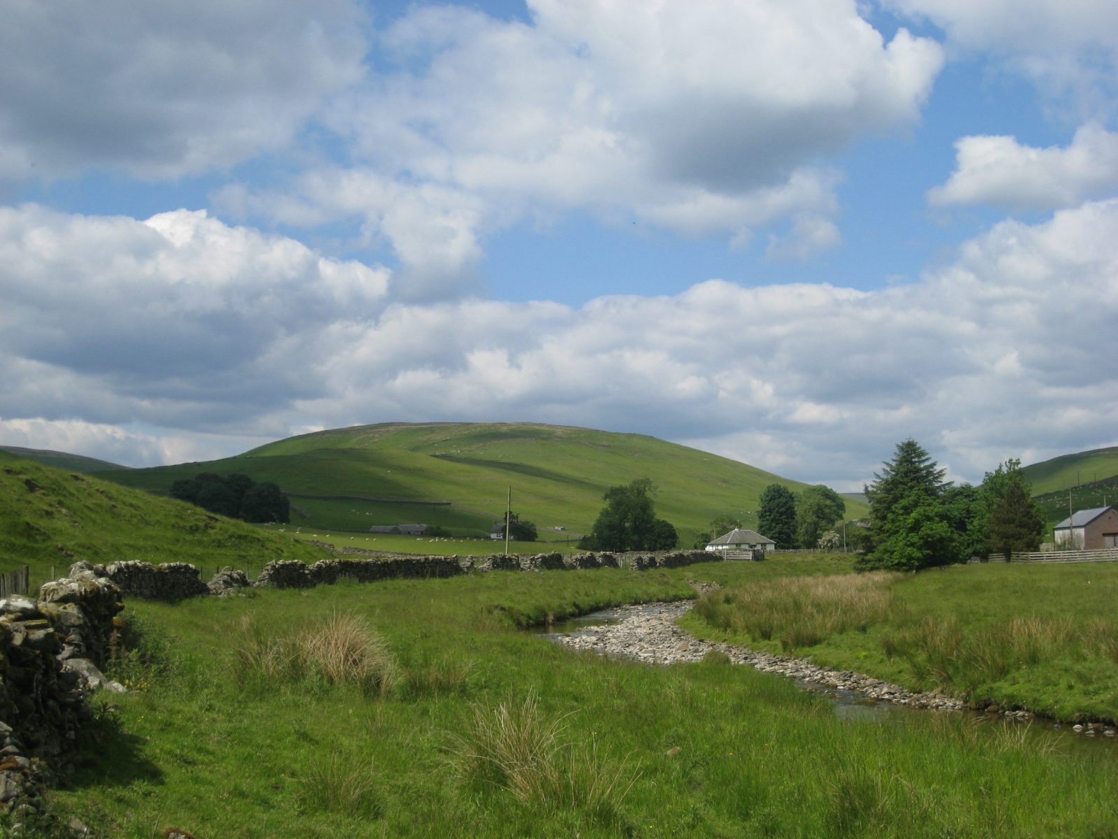
The valley has been well populated from earliest times, the low level of cultivation allowing visible traces of past life to survive. The remains of old farmsteads and settlements can still be seen, particularly through the winter months when vegetation dies back. Evidence of agricultural activity includes cultivation terraces, turf banks, rig-and-furrow cultivation and ring enclosures, showing the various farming methods practised over many centuries.
Prehistoric Settlements
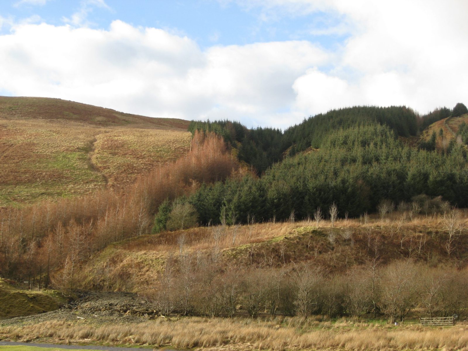
A number of prehistoric settlements – in all probability farmsteads dating from between 1000BC and 300AD – can be seen in the valley. Early settlements appear to have been strategically sited often in a defensive position, reflecting the turbulent history in the area. The settlement with the best-preserved earthworks lies within the forestry plantation at Dorniegills, with other examples at Effgill and Georgefield, and two further sites at Shielburn.
A tower house is recorded at Westerkirk Mains and the remains of a castle and tower house at the confluence of the Poldovick Burn and the Meggat Water at Glendinning, and of a castle at Crooks Farm.
Medieval and Later Farmsteads and Agriculture
In some cases, medieval and later farmsteads re-use, or are very close to, prehistoric settlement sites. An important group of three medieval farmstead sites can be seen on the eastern edge of Westerker Rig and another well-preserved example at Dorniegills. The farmsteads continue up the valley on both sides of the Meggat Water, at Megdale, Glendinning and as far up as the junction of Kirk Cleuch and Green Syke.
Aside from the farmsteads there are several rectangular platforms in the valley indicating the location of other structures, possibly byres or cottages. The cultivation terraces, mostly recognised from aerial photographs, could relate to either prehistoric, medieval or later farming activity. These can be seen on both sides of the valley at Westerker Rig, Effgill and Crooks, Megdale, Glendinning and Haregrain Rig.
Many stone and turf-built circular sheepfolds or ring-enclosures can be seen in the valley. In the case of the stone-built folds, some of these are recorded on the first editions of the Ordnance Survey maps printed around 1850. The precise function of the turf-built ring enclosures is not known, but they will almost certainly have played a role in early pastoral life. An area of six small and one larger ring enclosures can be seen near the settlement at Kirk Cleuch.

Farming – Then and Now
During the 18th century agriculture became more organised in the valley – small farms were merged into larger holdings, thatched mud and turf dwellings were replaced by stone cottages, and communications were improved as roads and bridges replaced cart tracks. With the construction of a bridge over the Esk at Langholm in 1755, access to the coal supplies at Canonbie meant that coal replaced peat as the main source of heating. Land was drained and a field system was introduced with stone dykes replacing the old sod and turf dykes.
At the end of the 18th century there were 27 farms in Westerkirk Parish which had a population of 655, with around 45 scholars attending the parish school. The Parish Statistical Account of 1793 records 86 horses and 35 ploughs, 181 cows and 17,480 sheep, mostly of the Cheviot breed. This reflects the heavy demand for wool at that time. Lambs were sold in July with the best ewe lambs retained to replace older ewes which were sold in September, a practice which continues today.
Over the years the population has declined, with 176 adults recorded on the parish electoral register in 2004. The school closed in 2000 due to the declining pupil roll. The June 2004 agricultural census figures record 16 farms in the parish, 791 cattle and 8088 breeding sheep. Modern machinery and quad bikes have now replaced the horse and cart, but the collie dog and shepherd still play an important role.

Have a Question?
If you have any questions, please don’t hesitate to get in touch – we’ll be happy to help.